


In today’s world of digitization, you have all information you need at your fingertips. One such wonder of technology is geomatics, also called surveying or geospatial technology. The field is observing fantastic developments every day, leading to the finest geomatics services. So, what exactly is geomatics, and how can it be helpful to you?
What is Geomatics?
Geomatics is a discipline related to gathering, storing, processing, and delivering spatial information. Geomatics services work with surveying, mapping, GPS, geographic information systems, and remote sensing. In all, geomatics is a term related to the various methods used in acquiring and distributing data. Although continuously developing, it is no new field. Proofs have been found that geomatics is as old as recorded history.
What are Geomatics Services?
Geomatics services require skills in various subjects, right from mathematics and physics to geology, computer programming, and earth sciences. In addition, it leverages technology, systems, and services related to collecting, organizing, and working with geographic data.
Some of the most relevant geomatics services of today are as follows.
1. Surveying
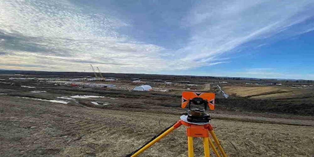
Land surveying is the skill and technique of measuring 2D and 3D data points that help assess, map, and create official survey boundaries. Surveying uses the global positioning system and total stations to create survey plans. Surveys’ geomatics services support land development, mining, and handling of renewable energy, among others.
2. LiDAR
LiDAR stands for Light Detection and Ranging. It uses a pulsed laser for the detection of distances on earth to develop 3D data. It is used for terrain modelling.
3. Remote Sensing
Remote sensing is an up-and-coming technology that monitors reflected and emitted radiation. These radiations depict information about elements or features of objects far away.
4. GIS
Geographic information systems are software that aids data collection. The data is tagged with geographical locations. GIS is helpful in several fields, such as engineering, planning, management, transport/logistics, insurance, telecommunications, and business.
Applications of Geomatics
Geomatics services find applications across industries. From flying a plane to mining petroleum and building a home or bordering national parks, Geomatics finds use in multitudinous facets. Below are some fields that majorly rely on the work of Geomatics engineers and land surveyors.
● Land management, reclamation, and reform.
● Monitoring and developing natural resources.
● Oceanography.
● Managing resources.
● Monitoring the environment and climate change.
● Building parks.
● Meteorology.
● Urban and regional planning.
● Air navigation services.
● Aeromagnetic surveys.
● Airborne geophysics.
● Managing and mapping coastal zones.
● Archaeological excavations.
● Survey for GIS applications.
● Infrastructure management.
● Urban and regional planning.
● Subdivision planning.
● Disaster informatics for disaster risk reduction and response.
● Seismic interpretation.
Looking for Geomatics Services?
It is understood by now that geomatics is a field that requires deep knowledge, latest technology, and relevant certifications among those who practice it. If you are looking for geomatics services in Canada, you would want to go for the best option available because with geomatics, the stakes are always high.
CORE Geomatics is a reputed and innovative geomatics company that offers a wide array of geomatics services. Offering practical and efficient solutions since more than 13 years now, CORE Geomatics levies well-trained staff and high-tech methods for your geomatics challenges. Contact them for surveying, GIS, remote sensing, or environmental planning-related holistic solutions today.