
The term “hunting knife” is a bit nonspecific, since you could in theory carry any knife while in the field and call it a hunting knife. After all, there was a time when hunters carried “hunting daggers” for dispatching wounded game (and for protection) but that is almost unheard of in the present day.
That being said, there are still some specialized profiles that are commonly referred to as hunting knives. This short post will break down some of the more common among them.
Drop Points
Many knives marketed as hunting knives have a drop point profile, with a spine that sweeps down gracefully to meet the point.
A drop point profile has a robust tip and is a very generalized profile that is useful for many different tasks. While not specialized, drop point hunting knives perform well given a variety of different scenarios.
Clip Points
Clip point knives, like the famous Buck 110 Folding Hunter, feature a very fine, sharp tip formed by a spine that is “clipped” away near the point; this results in a very fine point that is ideal for detail work.
While clip points are much more fragile than drop points, they are excellent for any tasks requiring piercing, or a fine tip for any sort of work in narrow spaces.
Skinners
A skinner is a special type of hunting knife that generally has a short blade, under 3 inches, and a wide, gracefully swept belly. This makes skinners poorly suited for piercing tasks, but excellent for removing the hide from a game animal, because they excel at long, sweeping and arcing cuts.
Nessmuk, AKA “Muk” Knives
A Nessmuk knife, often referred to as a “Muk,” is a special type of skinner with a wide, almost leaf-shaped blade; like other skinners, the “Muk” is also excellent for making wide, sweeping cuts and is well-suited for skinning. However, the wide, larger blade of most Muk knives also makes them suitable for further breaking down game after skinning has been completed.
Boning and Filet Knives
Boning and filet knives generally sport long, thin, flexible blades with fine points. They are designed for removing filets from a rack, or from separating meat from bone. Therein lies the reason for the flexibility of the blade’s temper. They are often given flat-grinds and kept razor-sharp, and like skinners can execute long, sweeping cuts for removing cuts and filets of meat.
Caping Knife or Caper
A caping knife is a small, specialized hunting knife that is primarily designed for “caping” (hence the name) which is the process of skinning the head and neck of an animal, primarily to preserve it for taxidermy purposes. However, the small and nimble nature of a caper also make it excellent for skinning in general, as well as for butchering small game.
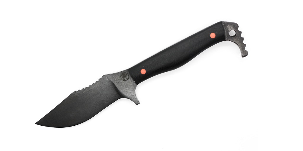
The Guthook
The guthook profile, which sports a hook on the spine near the tip, is commonly marketed as a hunting knife although the design is highly polarizing; there are hunters that like it, but many hunters strongly dislike the guthook profile and will not carry it. Nonetheless, it is common enough to warrant a mention.
Here to Learn More About Hunting Knives?
Interested in learning more about hunting knives, or in adding one of these patterns to your collection? Visit The Knife Connection today; they carry many of these patterns along with other survival, bushcraft, camp and hunting knives.