
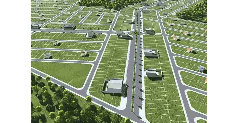
The province of Alberta, Canada, is one of the few places globally with no provincial sales tax. Because of this, the residents of cities therein, including those of Calgary, enjoy a lower cost of living.
So, it’s no wonder why many people would want to buy a piece of land in this cosmopolitan city that’s fondly called “Cowtown.”
And, of course, land surveys come next when you talk about property purchases. Therefore, to be a responsible and well-informed buyer and future landowner, you need to be aware of geomatic land surveying and the components involved in the process.
What Is Geomatics Land Surveying?
According to the University of Saskatchewan, geomatics is the science concerned with collecting, managing, and analyzing data about the Earth and the things that happen on its surface.
As a subset study of geography, it involves different components for application to land surveying, development, and planning.
In simpler terms, geomatic land surveying uses various data to establish accurate land boundaries and gather detailed land features. Therefore, it is also sometimes referred to as surveying engineering or geospatial science. And it is something you need if you want to purchase property in Calgary.
What Are the Components of Geomatic Land Surveys?
Geomatic land surveying plays a vital role in land surveys because it provides accurate and reliable results. Therefore you can avoid boundary problems and other similar challenges when deciding to own a piece of land in Calgary.
But how does geomatics give such precise results?
The answer lies in the methods and technologies used. These components are the following:
Geodesy
Geodesy is the study of the Earth’s size, shape, and other related factors. One of its goals is to create an exact model of the planet, which is quite helpful to other industries, including land surveys.
Lidar Geomatics
Lidar (Light Detection and Ranging) uses pulsed lasers to measure depth, range, and variable distance to the Earth. The result is 3D information that reveals the planet’s characteristics.
Geographic Information Systems or GIS
GIS uses spatial data, or data that directly or indirectly describes a specific geographical location. Experts also call it geospatial or geographic information and use it with cartography for land surveys.
Modern techniques are used to gather data under GIS. These include:
● Remote Sensing: gathering data or creating physical observations by measuring the radiation emitted or reflected by the subject. No direct contact is needed to collect information.
● Aerial Photography: using photographic techniques to make observations and collect data. It is associated with digital images, much like remote Sensing.
● Global Positioning System or GPS: a system of satellites orbiting the Earth which produce time signals. With the help of a mathematical technique called trilateration, these signals can determine exact locations on the Earth’s surface.
Apart from the above information, other areas of knowledge help gather various data about Earth and everything that affects it. Experts use these sciences to help deliver more accurate surveying results.
Buying a parcel of land in Calgary is a huge life decision. And as such, you need to be sure of the steps you take to complete the process. And one way you can be sure of your decisions is by being well-informed about land surveys and their components.
