
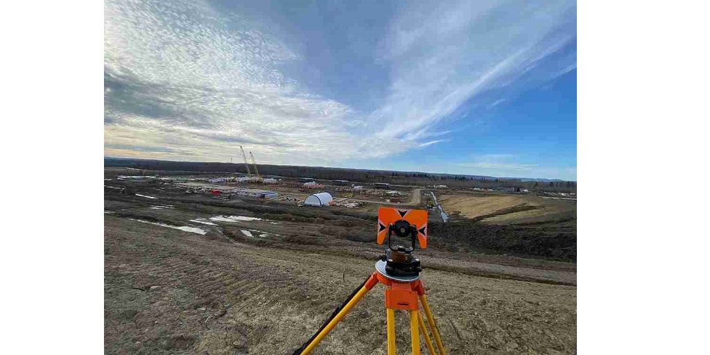
Geomatic services are the foundation on which many industries thrive today. A strong pillar of geomatic services is a land survey performed by surveyors to measure distances.
What are Land Surveys?
A land survey is used to determine terrestrial 2D and 3D positions of points, which helps surveyors measure the distances and angles between them. Surveys measure and locate both natural and manmade surfaces and features of a land. In practical application, a land survey helps establish maps, boundaries, locations, and more for real estate, government, and civil law purposes.
7 Types Of Land Surveys
Surveyors work with elements of geometry, physics, engineering, metrology, programming languages, and the law to carry out a land survey. Different land surveys serve different measurement purposes, and there are over 20 types of land surveys. They are performed in combination depending on the project’s requirements.
Below, we tell you about the seven most common types of land surveys that you will find in geomatic services.
1. Construction Survey
Construction surveys are used in engineering to stake out markers and reference points. These points guide the construction of roads, buildings, and other new structures. Markers of this type of land survey are generally staked out as per the coordinate system selected for the project.
2. Boundary Survey
Boundary surveys help define the boundaries of a property formally. Before buying, dividing, improving, or building on the land, a boundary survey is conducted to determine the corners of a parcel of land. This helps avoid legal issues in the future.
3. Location Survey
Location surveys provide additional information about the location of interior improvements. A detailed examination of the field is carried out after a preliminary survey, using tools such as the theodolite, level, plane table, and more. Location surveys are typically used in zoning permits or loan applications.
4. Topographic Survey
A topographic land survey measures the height, depth, size, and location of natural and artificial features on a piece of land. Boundary surveys focus on horizontal measurements, and in contrast to them, topographical surveys analyze the elevation of the land.
5. Subdivision Survey
A subdivision survey is used for splitting a land into smaller parcels. This type of land survey is done when an owner decides to divide the land, wherein the governing jurisdiction decides the level of detail that is required for the outcome of each survey. This is because upon the division of a lot, each newly formed land must meet the zoning and setback requirements.
6. Mining Survey
Mining surveys are used to determine the relative positions of points on or underneath the earth’s surface. Surveyors take direct and indirect measurements of distance, direction, and elevation to perform this land survey.
7. Utility Survey
Also known as an underground survey, the utilities survey is sued to check for undergroun wiring or pipes. This helps surveyors locate water, power, drainage, gas, fibre optics, and telecommunications beneath the land, so they can be factored in during construction work. Utilities surveys reduce the risk of constructors, engineers, developers, and utility owners, resulting in minimised costs and fewer project delays.
Looking For Land Survey And Geomatic Services?
Only an expert can do justice to the complex task of surveying land or performing related geomatic services. CORE Geomatics is a well-established geomatic services company in Canada with expertise in remote sensing technology, real property reports, and all kinds of land surveys. Reach out to them today to explore geomatic solutions in Calgary, Red Deer, Victoria, and six other cities across Western Canada.
